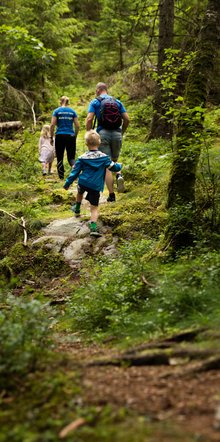
We are a hiking destination with everything needed to make your hike a relaxing experience. With us as a starting point, you will be able to experience the best hiking that Dalsland has to offer, with its rich flora and fauna. With the Kroppefjäll nature reserve as a neighbour, you will have hiking on your doorstep. You can also travel to one of the other locations we recommend, which you can read more about below. We offer accommodation, food, equipment, maps and everything you may need for your hike. In the neighbouring Kroppefjäll reserve, there is an incredible adventure to explore with nature and terrain rich in variety, and small, inviting lakes.
Ready-made packages to make
it easy for you. With everything from packed meals and guiding to accommodation
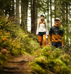
Hiking gives you the relaxation that we all need. Motion and tranquillity simultaneously
courtesy of nature
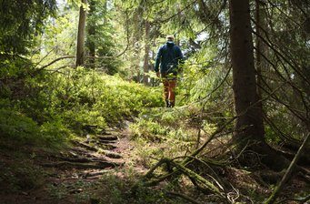
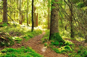
With its rich fauna and vast views, the nature reserve in the southern part of Kroppefjäll is a given hiking destination. Nature trails and circular trails of various lengths are conveniently accessible from where we are located. Diverse terrain with a variety of small lakes and inviting forests.
Kroppefjäll is a scenic outdoor area for, among other things, hiking, cycling, skiing, mushroom and berry picking. There is also a beautiful nature reserve here.
Experience the beautiful natural environment by hiking to Kroppefjäll. You can choose to hike looping trails ranging from 1 km to 32 km. This makes them suitable for all ages.
Difficulty: Medium-Difficult
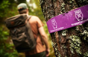
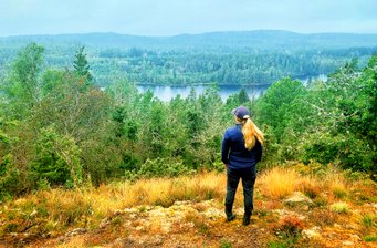
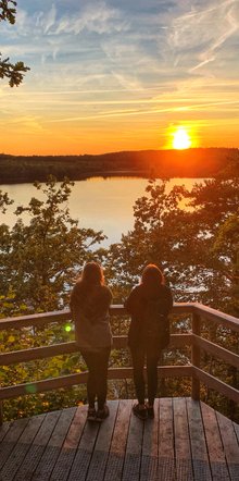
A 'just-enough' tour that runs along Ragnerudsjön. Some way up on the slopes so that you get a nice view of Ragnerudsjön. A lovely place to enjoy the sunset, for example. The trail is called Svartstjärnsleden, and runs through a relaxing forest environment The trail is marked with yellow markings and runs in a loop, taking you back to where you started.
Difficulty: Medium-Difficult
The Kroppefjällsleden is a 52 km trail through one of West Sweden's largest wilderness areas. Which consists of the southern part which is a circular loop of 32km and then a trail from Kroppefjälls nature reserve to Dals Rostock of 20km. Great variety in nature and terrain. Partially challenging sections with steeper terrain. But your hard work will earn you access to beautiful vantage points. The trail is new, meaning it lacks footbridges in some places. So put on a pair of proper boots and expect an adventure.
Difficulty: Medium-Difficult

38km (to the start)
100km (trail length)
Mixed (marking)
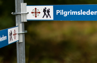
The Pilgrimsleden is over 100 kilometres, varied and scenic. The trail takes you from Vänersborg via Holm's church outside Mellerud to Edsleskog. Along the northern part of the hiking trail, there are clean campsites with wind shelters and fire pits. But you can also choose to stay in a hotel or hostel and arrange transport between the stages. On one hand the Pilgrimsleden trail has some more difficult passages with hilly terrain and long ascents, however, on the other hand they reward the hiker with an incredible view. The new southern part from Vänersborg, is easier to walk and runs mostly along passable roads.
Difficulty: Easy-Medium
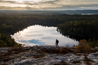
In Dalsland's only national park on the border with Norway, there are hiking trails from 3 to 22 km long through unique nature and untouched wilderness. With its approx. 3,000 hectares, Tresticklan is the third largest uninterrupted and largely unaffected forest area in the country outside the mountain region and Norrbotten.
The landscape in Tresticklan National Park is characterised by narrow and high mountain ridges that stretch in a north-south direction. Between them lie marshlands and long, narrow lakes. The sparse and barren pine forest with lichen- and moss-covered rock outcrops, together with the large number of lakes, form a peaceful environment where you can hike in uninterrupted wilderness for several days.
10km (to the start)
12km (trail length)
Orange (marking)
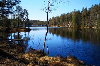
Karl XII's väg is one of Dalsland's most popular tourist routes. It is about 12 km and stretches from the Forsebol farmstead, about 6 km south of Dals Rostock, over the mountain to Järbo church on the west side.
It was a route over Kroppefjäll that one of the old roads to Norway took and it was, among other things, the one on which divisions of Charles XII's army marched during the attack on Norway in 1718. The road was then abandoned and was completely overgrown for a long time, but in the early 1960s it was rediscovered. Passionate locals cleared the road, built bridges and footbridges and organised guided tours of the mountain. And so, the old route had a grand re-opening in spring of 1961, in the presence of around three thousand people.
Difficulty: Medium
ADDRESS
Jolsäter 15
Högsäter 458 97
SVERIGE
OPENING HOURS
Reception & Butik
Måndag-Söndag 08:00-22:00
Café
Måndag-Söndag 10:00-20:00
.
Restaurang
Tisdag-Lördag 17:00-Sent
Copyright © Ragnerud Business AB. All Rights Reserved